Sea level rises in the Pacific: a growing threat?
Nick Riches. Pacific DataViz Challenge entry, 2026.
Scroll down to continue.
A vast archipelago
From space, the Pacific Islands are mere pinpricks. They look extremely vulnerable to rising sea levels.
Scroll down to continue.
Sea levels are rising...
... at a rate of about 5cm per decade.
Let's explore the coastline of Fiji
A large Pacific archipelago.
Red points show shoreline loss. Blue points show shoreline gain.†
† See this Australian government website for details of the coastline measuring methodology. Data is provided by the Pacific data hub
At a glance...
Land loss is not uniform. In some places the land is growing.
For example...
We see erosion on north facing shores and accretion on south facing shores. This may be due to ocean currents.
So is coastal erosion getting worse?
Let's look at a village called Narikoso.
Narikso
Coastal erosion has led to evacuation plans. Some families have already been relocated further inland.
One of 40 identified by Fijian government as at risk.
Local news depicted this as a consequence of sea level rises.
Highways
Coastal highways have also been eroded.
Erosion of Queen's Road
Sections of the highway have experienced severe erosion.
Again, local news has depicted this as a consequence of sea level rises.
Territory codes
So which islands will be worst affected?
Each point is a Pacific nation.
Size shows population.†
The horizontal axis shows the percentage of the population living within 1km of the coast.†
The vertical axis shows the percentage of reliable coastal observations exhibiting erosion (negative values).
The danger zone is on the
Kiribati, Cook Islands, and Nauru all look precarious.
† Data source for population statistics.
† Data source for coastal proximity
But let's change the vertical axis
This will now show the mean coastal loss / gain per satellite observation.
A negative value would indicate an overall loss of land area.
A surprising finding
Only Papua New Guinea has a negative value.
It is the only nation losing land area.
And losses are very small.
So what is going on?
The role of size
A survey of atolls finds that those above ten hectares (approximately 14 football pitches) are "robust" to sea level rises (Duvat, 2019).
While coastlines may change, causing localised damage and displacement of villages, the land area of these islands is not getting smaller.
A survey of Central Pacific islands found that only 21.4% are contracting (Kench et al. 2024).
Large islands have a stable area due to natural factors, e.g. volcanic bedrock, which ensures that eroded material is redeposited rather than washed out to sea. Larger islands benefit from mangroves which may form a protective barrier.
Human activity may also be at play. On large islands, humans are more likely to dredge and build sea walls.
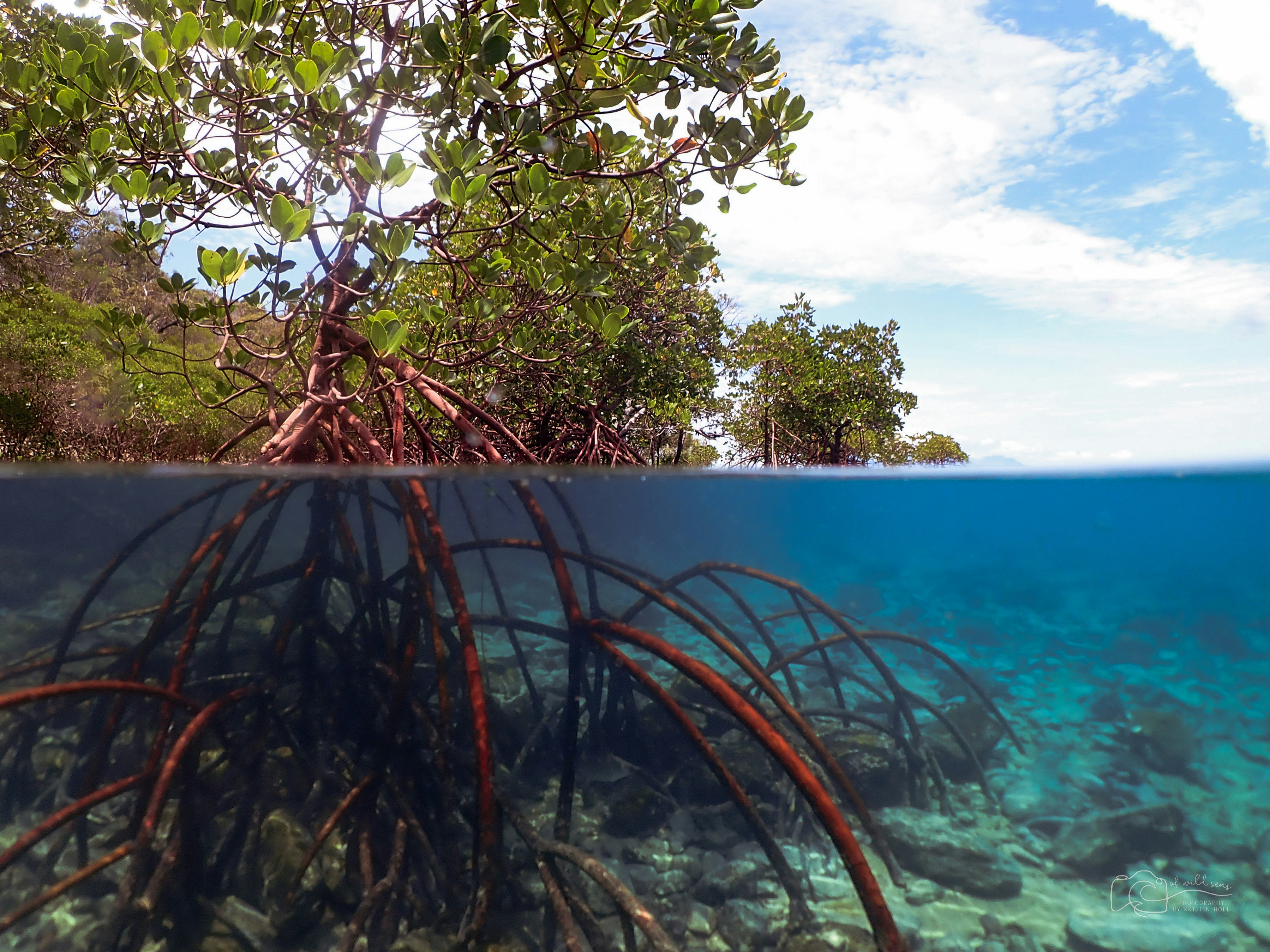
Let's take a historical view...
Fiji's coastlines have been fluctuating for a long time.
Oral histories find examples of villages which relocated due to coastal erosion in the 1950s (Nunn et al. 2026).
Furthermore, as mentioned, most islands in the Pacific are not shrinking.
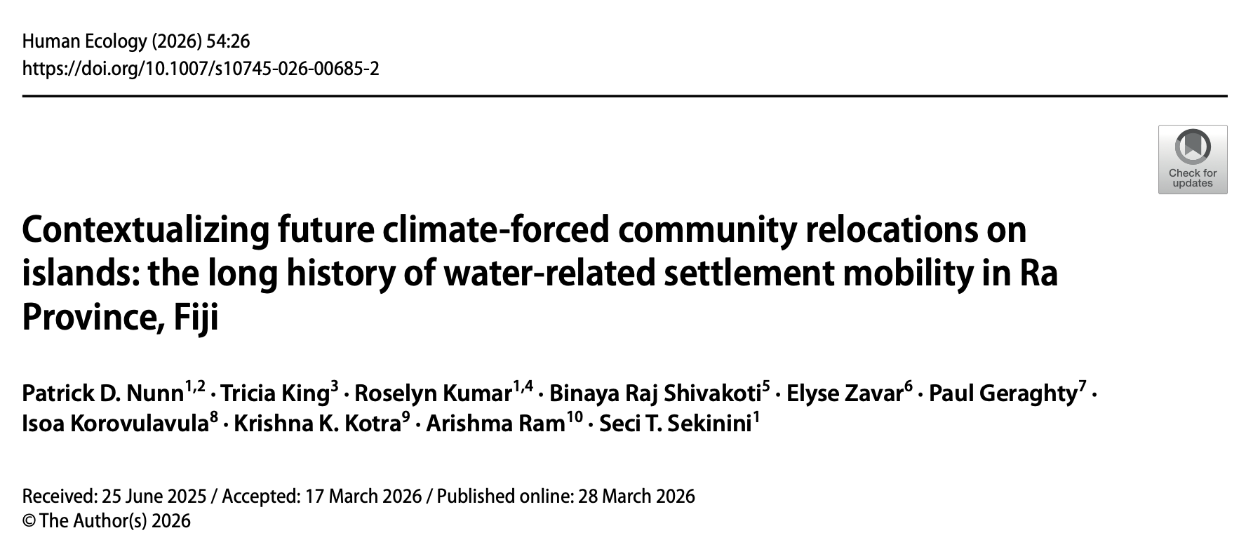
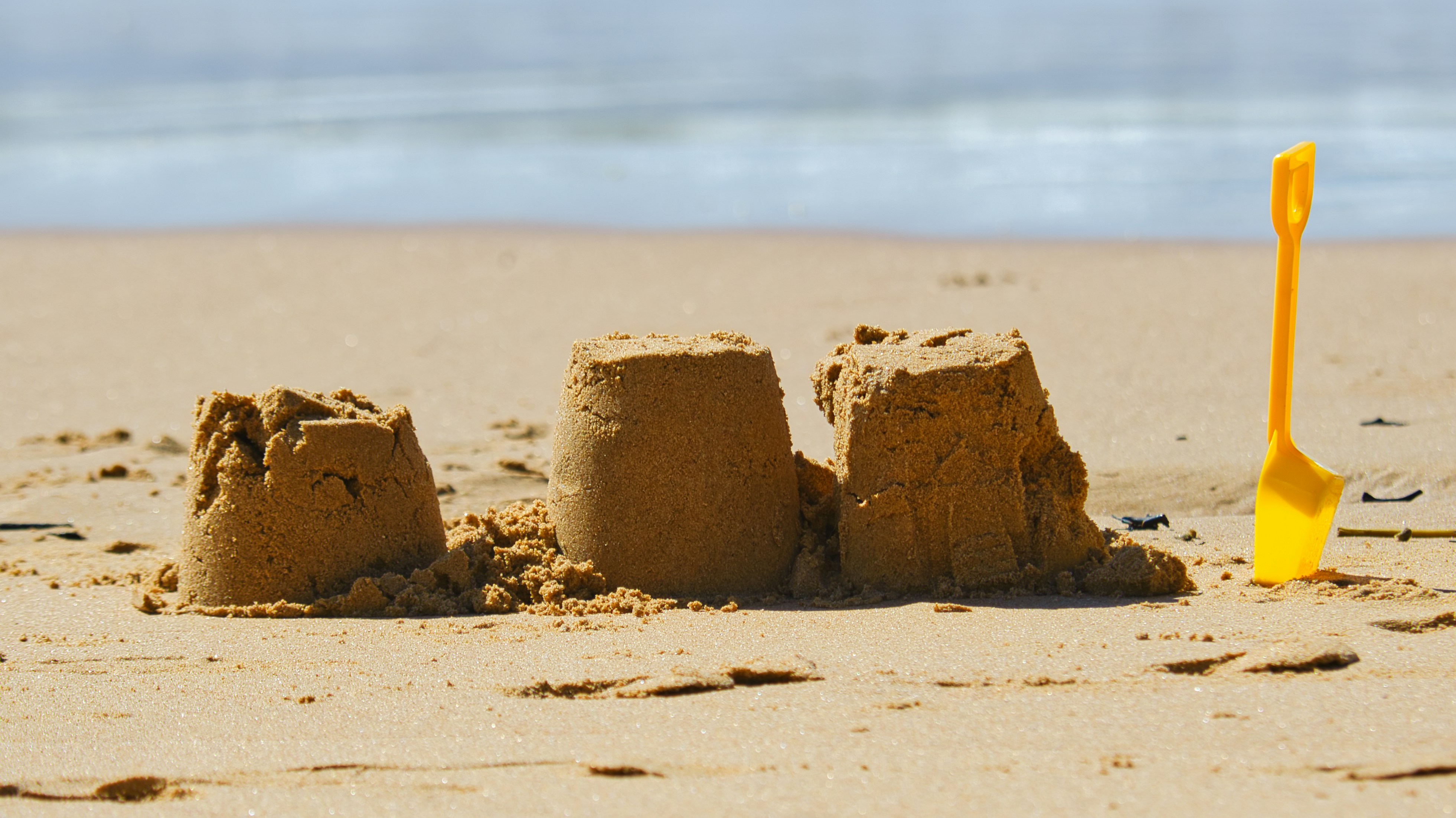
So is there "nothing to see"?
Individual cases of shoreline erosion cannot be easily linked to climate change.
The data shows that large islands are not shrinking.
A sting in the tail?
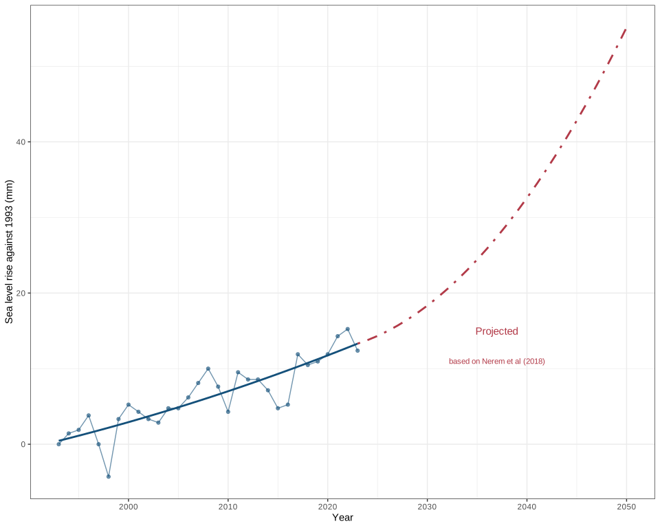
Sea level projections are alarming (Nerem, 2018).
We are reaching
Warming is accelerating at the
These contribute to sea rises via both melting ice and thermal expansion.
Could this mean that large islands will start to get smaller?
Will coastlines experience more frequent and more pronounced changes?
Will forced relocations and damage to infrastructure increase?
Vinaka, Merci, Thank you
Scrollama "scrollytelling" javascript library
D3 plotting library
Maplibre maps library
World Imagery (satellite/aerial): Esri, Maxar, Earthstar Geographics, and the GIS User Community
World Topo Map: Esri, HERE, Garmin, FAO, NOAA, USGS, © OpenStreetMap contributors, and the GIS User Community